Maps, Annotated The World's 300 Greatest Maps Explained
-
Sprache:Englisch
-
Verlag:Random House N.Y.
53,99 €
inkl. gesetzl. MwSt.,
Beschreibung
Produktdetails
Einband
Gebundene Ausgabe
Erscheinungsdatum
21.10.2025
Verlag
Random House N.Y.Seitenzahl
480
Maße (L/B/H)
28,4/23,9/3,7 cm
Gewicht
2380 g
Sprache
Englisch
EAN
9798217126316
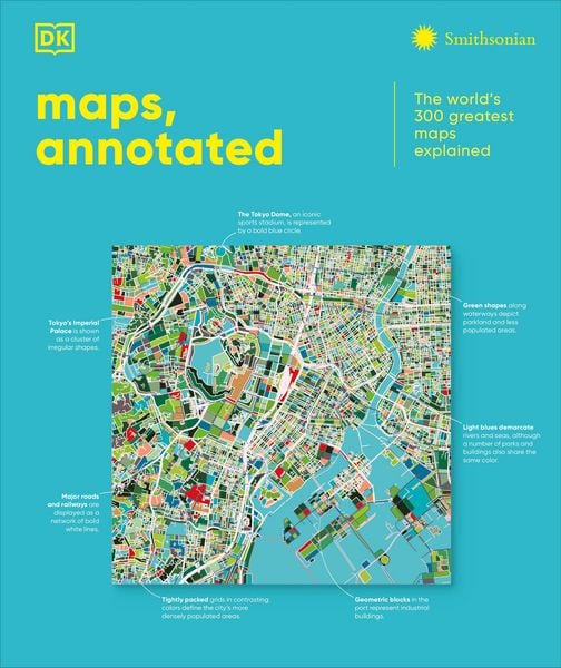
This fascinating history of cartography includes more than 300 maps, from the ancient world to the present day.
Combining stunning reproductions with clear annotations and pull-out details, it is an expertly curated selection of the finest examples ever created.
Delve into Maps, Annotated and find out how the Polynesians used sticks to chart their way across the Pacific, what a meridian is, and where dragons were said to lurk. Discover ancient Chinese star maps, decipher medieval Mappa Mundi, and find out how the world is split into time zones. Organized chronologically, the book features maps from all over the world, explaining key elements such as compasses, scales, symbols, and geographic features. Each map is also set in historical context, making Maps, Annotated a complete overview of the history of cartography.
From Babylonian world maps to the Aztec map of Tenochtitlán and the Gaia map of the Milky Way, immerse yourself in the most intriguing maps ever created. Comprehensive and lavishly illustrated, Maps, Annotated is a must for all armchair explorers.
Kundinnen und Kunden meinen
Verfassen Sie die erste Bewertung zu diesem Artikel
Helfen Sie anderen Kund*innen durch Ihre Meinung
Kurze Frage zu unserer Seite
Vielen Dank für Ihr Feedback
Wir nutzen Ihr Feedback, um unsere Produktseiten zu verbessern. Bitte haben Sie Verständnis, dass wir Ihnen keine Rückmeldung geben können. Falls Sie Kontakt mit uns aufnehmen möchten, können Sie sich aber gerne an unseren Kund*innenservice wenden.
zum Kundenservice