KI-Beratung Beta

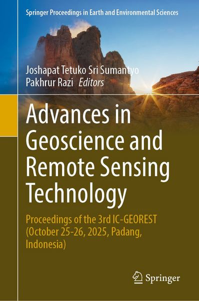
Produktbild: Advances in Geoscience and Remote Sensing Technology
Vorbesteller Neu

Advances in Geoscience and Remote Sensing Technology Proceedings of the 3rd IC-GEOREST (October 25-26, 2025, Padang, Indonesia)

241,99 €

inkl. gesetzl. MwSt., Versandkostenfrei


Beschreibung

Produktdetails

Einband

Gebundene Ausgabe

Erscheinungsdatum

24.03.2027

Abbildungen

Approx. 420 p.

Herausgeber

Josaphat Tetuko Sri Sumantyo + weitere

Verlag

Springer Singapore

Seitenzahl

304

Maße (B/H)

15,5/23,5 cm

Sprache

Englisch

ISBN

978-981-9268-78-8

Beschreibung

Portrait

Prof. Josaphat Tetuko Sri Sumantyo, Ph.D. Sri Sumantyo received his B.Eng. and M.Eng. degrees in electrical and computer engineering (subsurface radar systems) from Kanazawa University, Japan, in 1995 and 1997, respectively. He was also awarded his Ph.D. degree in artificial system sciences (applied radio wave and radar systems) by Chiba University, Japan, in 2002. He was affiliated with the Center for Frontier Electronics and Photonics (Venture Business Laboratory), Chiba University, as a lecturer (post-doctoral fellowship researcher) from 2002 to 2005. He then became an associate professor (permanent staff) at the Center for Environmental Remote Sensing (CEReS), Chiba University, from 2005 to 2013, where he is currently a full professor (permanent staff). His research interests include theoretical scattering microwave analysis and its applications to microwave (radar) remote sensing, especially synthetic aperture radar (SAR) and subsurface radar (VLF), including DInSAR and PS-InSAR; the analysis and design of antennas for mobile satellite communications and microwave sensors; and the development of microwave sensors, including SAR for unmanned aerial vehicle and microsatellite development.

Prof. Pakhrur Razi, Ph.D., received his B.S. degree in physical science from the Universitas Negeri Padang and M.S. degree in physical science from the Bandung Institute of Technology, Indonesia. He was awarded his Ph.D. in 2019 by the Graduate School of Advanced Integration Science, Chiba University, Japan, with a focus on synthetic aperture radar (SAR) processing for disaster monitoring. Since 2006, he has been affiliated with the Physics Department, Universitas Negeri Padang, where he became an associate professor in 2014 and a full professor in 2023. His research interests include SAR and optical remote sensing for disaster monitoring, early warning systems for disaster, image processing, UAV, GPS-GNSS, electronic instrumentation, and ICT.

Produktdetails

Einband

Gebundene Ausgabe

Erscheinungsdatum

24.03.2027

Abbildungen

Approx. 420 p.

Herausgeber

Verlag

Springer Singapore

Seitenzahl

304

Maße (B/H)

15,5/23,5 cm

Sprache

Englisch

ISBN

978-981-9268-78-8

Herstelleradresse

Springer Nature Customer Service Center GmbH
Europaplatz 3
69115 Heidelberg
DE
ProductSafety@springernature.com

Noch keine Bewertungen vorhanden

Verfassen Sie die erste Bewertung zu diesem Artikel

Helfen Sie anderen Kundinnen und Kunden durch Ihre Meinung.

Kundinnen und Kunden meinen

Bewertungen (0)

  • Produktbild: Advances in Geoscience and Remote Sensing Technology
  • Applying GIS and Machine Learning for Sustainable Dust Management: A Predictive Approach to PM2.5 Dispersion - Ocean circulation and Eddy Kinetic Energy (EKE) dynamics in the Indonesian Sea using satellite-derived data (2013–2024) -Spatial and Seasonal Distribution of Escherichia coli in the Water of Mishkab District - Surface Deformation Analysis Due To The Bengkulu Intra-Slab Earthquake on May 23, 2025 using Sentinel-1 InSAR Data - Temporal Response Analysis of H/A/Alpha Target Decomposition Parameters Derived by C-Band Dual-Polarimetric SAR for Supporting Rice Monitoring Activities - Spatial–Temporal Characteristics of Tsunami Inundation in Padang City, Indonesia, Based on Numerical Modeling of the Mentawai Megathrust Scenario - Land Surface Temperature Response to Vegetation Dynamics in an Agricultural Region: Insights from Landsat 8 Imagery - Etc.