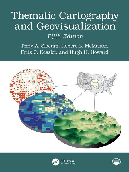
Thematic Cartography and Geovisualization
174,80 €
inkl. gesetzl. MwSt.Beschreibung
Produktdetails
Format
Kopierschutz
Nein
Family Sharing
Nein
Text-to-Speech
Nein
Erscheinungsdatum
11.08.2026
Verlag
Taylor & Francis eBooksSeitenzahl
688 (Printausgabe)
Dateigröße
141701 KB
Auflage
5. Auflage
Sprache
Englisch
EAN
9781040568583
The fifth edition of this comprehensive and well-established book in cartography has been thoroughly updated and extensively restructured to incorporate new developments in recent years. It reflects advancements in technology, societal changes, and evolving methodologies in the field of cartography. With the inclusion of entirely new chapters, restructured content, and expanded discussions, the book provides a modern perspective on cartographic practices. It emphasizes the integration of Artificial Intelligence, the democratization of mapping through web-based tools, and innovative approaches to visualizing spatiotemporal data. Additionally, it addresses historical paradigms, geovisual analytics, and the adaptation of map elements and typography for mobile and web platforms, ensuring relevance in today's digital age.
Some Key Features of the Fifth Edition
- Artificial Intelligence in Cartography: A new chapter explores AI's 75-year history, deep learning, cartographic applications, and ethical implications.
- Maps, Mapping, and Society: A new chapter highlights the democratization of mapmaking through web-based tools, empowering the general public.
- History of Thematic Mapping: Restructured to cover American cartographic paradigms, including analytical, design and production, education, statistical mapping, and symbolization.
- Visualizing Spatiotemporal Data: Formerly "Animation," this chapter now includes alternatives such as change maps, small multiples, and space-time cubes.
- Geovisual Analytics: Expanded to include the Australian Cancer Atlas and dashboard development.
- Map Elements and Typography: Expanded to include guidelines for mobile devices and web browsers.
- Elements of Map Projections: Now discusses the Universal Transverse Mercator (UTM) and State Plane Coordinate System (SPCS) grid systems.
Noch keine Bewertungen vorhanden
Verfassen Sie die erste Bewertung zu diesem Artikel
Helfen Sie anderen Kundinnen und Kunden durch Ihre Meinung.
Kurze Frage zu unserer Seite
Vielen Dank für Ihr Feedback
Wir nutzen Ihr Feedback, um unsere Produktseiten zu verbessern. Bitte haben Sie Verständnis, dass wir Ihnen keine Rückmeldung geben können. Falls Sie Kontakt mit uns aufnehmen möchten, können Sie sich aber gerne an unseren Kund*innenservice wenden.
zum Kundenservice