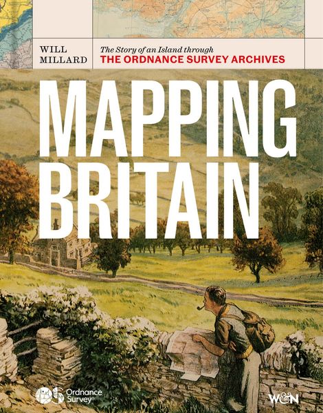
Mapping Britain The Story of an Island through the Ordnance Survey Archives
19,99 €
inkl. gesetzl. MwSt.Artikel erhalten
Beschreibung
Produktdetails
Format
ePUB
Kopierschutz
Ja
Family Sharing
Ja
Text-to-Speech
Ja
Erscheinungsdatum
01.10.2026
Verlag
OrionSeitenzahl
256 (Printausgabe)
Sprache
Englisch
EAN
9781399647120
Discover the story of Britain as you've never seen it before through the extraordinary archive of Ordnance Survey
Ordnance Survey has been the home of British mapmaking since 1745, when a twenty-one-year old engineer was first tasked with a small-scale military survey of Scotland. Since then, its maps have borne witness to nearly three centuries of phenomenal transformation, from the British Empire to the Industrial Revolution, World War I to the digital era, and are still trusted and treasured by millions of us today.
In Mapping Britain, Will Millard brings the illustrious Ordnance Survey archive to life in a fully-illustrated story of Britain that explores what these maps can tell us about where, why and how we have moved around this island over the centuries. We find disappearing villages, secretive smuggling paths, top-secret military plans and even the detailed maps of Buckingham Palace gifted to Queen Victoria on her fiftieth jubilee.
Rich, rewarding and endlessly fascinating, Mapping Britain is an unmissable record of how our landscape has changed - and how it might do so in the future.
Noch keine Bewertungen vorhanden
Verfassen Sie die erste Bewertung zu diesem Artikel
Helfen Sie anderen Kundinnen und Kunden durch Ihre Meinung.
Kurze Frage zu unserer Seite
Vielen Dank für Ihr Feedback
Wir nutzen Ihr Feedback, um unsere Produktseiten zu verbessern. Bitte haben Sie Verständnis, dass wir Ihnen keine Rückmeldung geben können. Falls Sie Kontakt mit uns aufnehmen möchten, können Sie sich aber gerne an unseren Kund*innenservice wenden.
zum Kundenservice