Beschreibung
Produktdetails
Einband
Taschenbuch
Erscheinungsdatum
08.04.2027
Verlag
Geographers' A-Z Map Co LtdSeitenzahl
64
Maße (L/B/H)
23,8/16,9/0,4 cm
Gewicht
270 g
Auflage
14 Revised edition
Sprache
Englisch
ISBN
978-0-00-884271-0
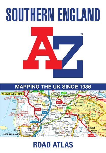
A full-colour regional road atlas featuring 39 pages of continuous road mapping. Covering an extensive area, including Bristol, Swindon, Reading, Slough, Guildford, Littlehampton, Portsmouth, Isle of Wight, Bournemouth, Cardiff, Newport, Weymouth, Sidmouth, Taunton and Weston-Super-Mare.
This atlas is shown at a clear 2.5 miles to 1 inch scale (1.58 km to 1 cm) and includes the following features:
- Motorways open with full junction detail, motorways under construction and proposed, service areas, primary routes and destinations, A & B roads, selected minor roads, gradients 1:7 and steeper, tolls, mileages, county boundaries, spot heights and hill shading
- National Park boundaries
- Selected places of interest, tourist information centres and golf courses
Also included are 15 city, town, airport or port plans for: Bath, Bournemouth, Bristol, Cardiff, Guildford, Portsmouth, Reading, Salisbury, Southampton, Swindon, Taunton, Winchester, Windsor, London Heathrow Airport, and Poole Port.
The expansive index section lists cities, towns, villages, hamlets and locations covered by this atlas.
Noch keine Bewertungen vorhanden
Verfassen Sie die erste Bewertung zu diesem Artikel
Helfen Sie anderen Kundinnen und Kunden durch Ihre Meinung.
Kurze Frage zu unserer Seite
Vielen Dank für Ihr Feedback
Wir nutzen Ihr Feedback, um unsere Produktseiten zu verbessern. Bitte haben Sie Verständnis, dass wir Ihnen keine Rückmeldung geben können. Falls Sie Kontakt mit uns aufnehmen möchten, können Sie sich aber gerne an unseren Kund*innenservice wenden.
zum Kundenservice