KI-Beratung Beta

Gutscheinbedingungen

**Gültig bis 11.11.2026 auf Spielzeug, Schreibwaren, Filme, Geschenke & Trends, Musik, tolino eReader & Zubehör, Hörbücher und Hörbuch-Downloads, nicht preisgebundene Bücher und Kalender online auf thalia.at und in der Thalia App. Einzelne Artikel können ausgeschlossen sein. Aufgrund der Buchpreisbindung sind deutschsprachige Bücher und eBooks ausgenommen. Zusätzlich ausgenommen sind Abos & Flatrates, Games, Geschenkkarten/-boxen, Shelfies, Software, Zeitschriften sowie einzelne Artikel von tonies®. Pro Einkauf einmal einlösbar. Click & Collect nur bei Onlinevorabzahlung möglich. Keine Barauszahlung. Nicht kombinierbar mit anderen Aktionen und Gutscheinen. Gutschein wird auf max. 500€ Bestellwert angerechnet. Nicht gültig für Versandkosten und Services.

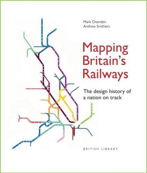
Produktbild: Mapping Britain''s Railways

Mapping Britain''s Railways The Design History of a Nation on Track

34,99 €

inkl. gesetzl. MwSt., Versandkostenfrei


Beschreibung

Railway diagrams have been at the forefront of mapping Britain's railways since they first began operating 200 years ago - a journey from A to B has always needed to be easily and quickly understood. This book reveals the surprising history of how British railway cartographers have led the way in designing...

Beschreibung

Railway diagrams have been at the forefront of mapping Britain's railways since they first began operating 200 years ago - a journey from A to B has always needed to be easily and quickly understood. This book reveals the surprising history of how British railway cartographers have led the way in designing clear passenger information, even predating the iconic London Underground diagram, which itself has expanded to encompass overground routes around the capital and beyond. Written and designed by bestselling author Mark Ovenden and National Rail mapmaker Andrew Smithers, this intriguing and lively history is illustrated with over 300 colourful maps from around the country, showing the evolution of schematics from simple line drawings to complex diagrams that incorporate ever more information.

Produktdetails

Einband

Gebundene Ausgabe

Erscheinungsdatum

18.08.2026

Abbildungen

Illustrations

Verlag British Library

Produktdetails

Einband

Gebundene Ausgabe

Erscheinungsdatum

18.08.2026

Abbildungen

Illustrations

Verlag British Library
Seitenzahl

176

Maße (L/B/H)

24,3/22,5/1,9 cm

Gewicht

964 g

Farbe

Weiß

Sprache

Englisch

ISBN

978-0-7123-5589-6

Herstelleradresse

Libri GmbH
Europaallee 1
36244 Bad Hersfeld
DE

Email: gpsr@libri.de

Noch keine Bewertungen vorhanden

Verfassen Sie die erste Bewertung zu diesem Artikel

Helfen Sie anderen Kundinnen und Kunden durch Ihre Meinung.

Kundinnen und Kunden meinen

Bewertungen (0)

  • Produktbild: Mapping Britain''s Railways