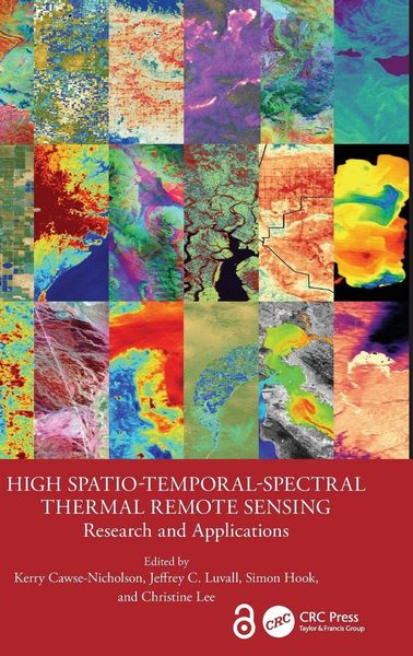
High Spatio-Temporal-Spectral Thermal Remote Sensing Research and Applications
-
- Englisch ausgewählt
191,99 €
inkl. gesetzl. MwSt.,
Beschreibung
Produktdetails
Einband
Gebundene Ausgabe
Erscheinungsdatum
05.03.2026
Abbildungen
schwarz-weiss Illustrationen, farbige Illustrationen, Raster,schwarz-weiss, Raster, farbig, Zeichnungen, schwarz-weiss, Zeichnungen, farbig, Tabellen, schwarz-weiss
Herausgeber
Kerry Cawse-Nicholson + weitereVerlag
Taylor & FrancisSeitenzahl
350
Maße (L/B/H)
23,4/15,6/2,2 cm
Gewicht
699 g
Sprache
Englisch
ISBN
978-1-03-260303-2
There have been numerous advances in thermal infrared (TIRS) sensors, analytical techniques and applications in recent years. A number of new satellite platforms have launched with TIR capabilities, and others will be ready for launch in the near future. This book builds upon the book Thermal Remote Sensing in Land Surface Processing and provides new and updated information on thermal remote sensing satellite and aircraft-borne sensors. It includes examples of new analysis and modeling techniques, applications on land and water bodies, provides insight into what TIR sensors will be launched in the near future, and includes an open source/digital format with additional interactive materials in each chapter.
Features
- Highlights the latest and updated information on TIR remote sensing, current TIR sensors and future sensors.
- Explains new and updated TIRS sensor analytical techniques.
- Focuses on new modeling techniques to derive information on land and water surface processes from TIR sensor data.
- Includes relevant and updated examples of applications of TIR sensor data to land surface and water body processes.
- Provides examples of linkage of TIR sensor data with hyperspectral and other remote sensing datasets.
This book is for professionals, academics, and students who are part of remote sensing and geospatial community, environmental science community, geologists, geographers, ecologists, spatial statisticians and all those involved in quantitative analysis. It is also an excellent resource for upper-level undergraduate and graduate students taking courses in photogrammetry and image processing in information science and engineering.
Noch keine Bewertungen vorhanden
Verfassen Sie die erste Bewertung zu diesem Artikel
Helfen Sie anderen Kundinnen und Kunden durch Ihre Meinung.
Kurze Frage zu unserer Seite
Vielen Dank für Ihr Feedback
Wir nutzen Ihr Feedback, um unsere Produktseiten zu verbessern. Bitte haben Sie Verständnis, dass wir Ihnen keine Rückmeldung geben können. Falls Sie Kontakt mit uns aufnehmen möchten, können Sie sich aber gerne an unseren Kund*innenservice wenden.
zum Kundenservice