Beschreibung
Produktdetails
Einband
Taschenbuch
Erscheinungsdatum
21.05.2026
Verlag
HarperCollinsSeitenzahl
108
Maße (L/B/H)
21,5/14,9/0,7 cm
Gewicht
150 g
Sprache
Englisch
ISBN
978-0-00-878055-5
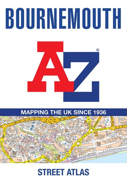
Navigate your way around Bournemouth with this detailed and easy-to-use A-Z Street Atlas.
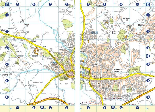
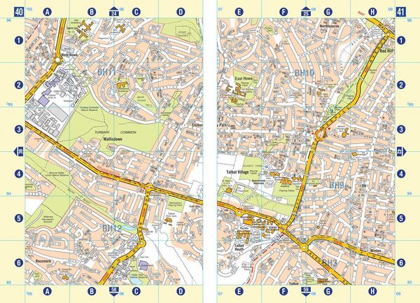
Printed in full-colour, paperback format, this atlas contains 63 pages of continuous street mapping in a NEW A5 format for ease of use.
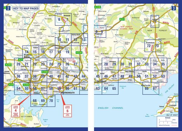
Coverage includes: Poole, Christchurch, Ringwood, Wimborne Minster, Ferndown, Bournemouth Airport, Barton on Sea, Milford on Sea, Lymington.
In addition, there are separate coverages of Verwood, Lyndhurst and Brockenhurst, two large scale town centre maps of Bournemouth and Poole.
Postcode districts, one-way streets, park and ride sites and the New Forest National Park boundary are also featured on the mapping.
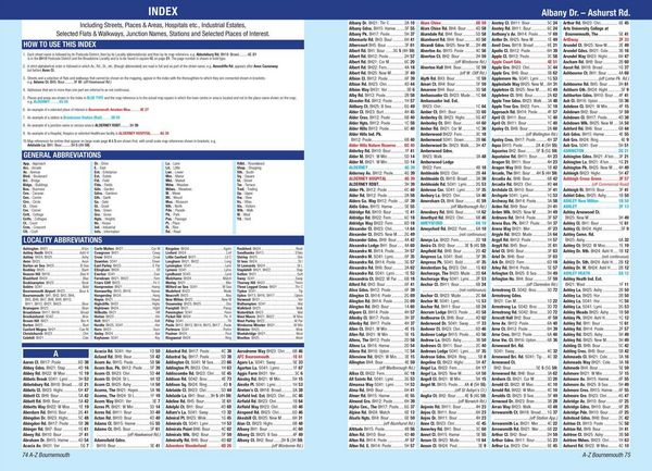
The index section lists streets, selected flats, walkways and places of interest, place, area and station names, hospitals and hospices covered by this atlas.
Noch keine Bewertungen vorhanden
Verfassen Sie die erste Bewertung zu diesem Artikel
Helfen Sie anderen Kundinnen und Kunden durch Ihre Meinung.
Kurze Frage zu unserer Seite
Vielen Dank für Ihr Feedback
Wir nutzen Ihr Feedback, um unsere Produktseiten zu verbessern. Bitte haben Sie Verständnis, dass wir Ihnen keine Rückmeldung geben können. Falls Sie Kontakt mit uns aufnehmen möchten, können Sie sich aber gerne an unseren Kund*innenservice wenden.
zum Kundenservice