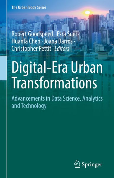
Digital-Era Urban Transformations Advancements in Data Science, Analytics and Technology
176,99 €
UVP
197,99 €
inkl. gesetzl. MwSt.,
Beschreibung
Produktdetails
Einband
Gebundene Ausgabe
Erscheinungsdatum
16.12.2025
Abbildungen
X, 347 p. 119 illus., 103 illus. in color.
Herausgeber
Robert Goodspeed + weitereVerlag
SpringerSeitenzahl
347
Maße (L/B/H)
24,1/16/2,5 cm
Gewicht
703 g
Sprache
Englisch
ISBN
978-3-031-98299-6
The diffusion of information technologies to nearly all facets of our society means we are living fully within a new
digital era
that could previously only be imagined. The digital mediation of transactions, the rise of new global digital infrastructures, even the proliferation of low-cost sensors and satellites, are fundamentally reshaping what can be known about cities—and therefore what possibilities are unlocked for new urban analysis and planning tools. Published in conjunction with the 19
th
Computational Urban Planning and Urban Management (CUPUM) conference, held at the University College London in June 2025, the volume contains 17 chapters exploring new applications of a wide range of contemporary technologies, including artificial intelligence, satellite data, big data analysis, and urban sensing. These are applied to diverse problems including resilience to urban heat, preparing for natural disasters like tsunamis, grappling with urban decline, or reducing GHG emissions, or the creation of novel Planning Support Systems.
Noch keine Bewertungen vorhanden
Verfassen Sie die erste Bewertung zu diesem Artikel
Helfen Sie anderen Kundinnen und Kunden durch Ihre Meinung.
Kurze Frage zu unserer Seite
Vielen Dank für Ihr Feedback
Wir nutzen Ihr Feedback, um unsere Produktseiten zu verbessern. Bitte haben Sie Verständnis, dass wir Ihnen keine Rückmeldung geben können. Falls Sie Kontakt mit uns aufnehmen möchten, können Sie sich aber gerne an unseren Kund*innenservice wenden.
zum Kundenservice