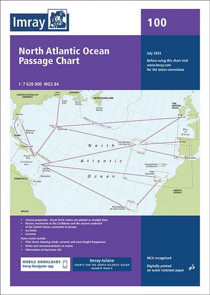
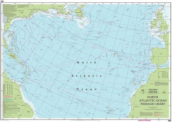
Chart 100 North Atlantic Ocean, Imray Passage Chart Passage Chart, 1:7.620.000
-
- Englisch ausgewählt
36,99 €
inkl. gesetzl. MwSt.,
Beschreibung
Produktdetails
At a scale of 1:7,620,000 this chart covers the North Atlantic from Brazil to Newfoundland and Gibraltar to the Caribbean. It has been constructed on a conical projection that means that Great Circle tracks can be plotted as straight lines rather than curves. Chart 100 shows the main trend of depth contours, limits of ice, magnetic variations and keys routes as identified by Donald M. Street Jr.In the enclosed booklet are pilot charts showing winds, currents and wave height frequencies with accompanying notes on favourable route timings and hurricane risk. Chart 100 is an important companion for Atlantic yachtsmen on passage and an excellent source of planning information. For this edition the magnetic variation curves have been replaced by a web link directing sailors to up to date information. The monthly diagrams indicating meteorological seasonal variations have been changed from March, June, September and December to May, June, November and December.
Noch keine Bewertungen vorhanden
Verfassen Sie die erste Bewertung zu diesem Artikel
Helfen Sie anderen Kundinnen und Kunden durch Ihre Meinung.
Kurze Frage zu unserer Seite
Vielen Dank für Ihr Feedback
Wir nutzen Ihr Feedback, um unsere Produktseiten zu verbessern. Bitte haben Sie Verständnis, dass wir Ihnen keine Rückmeldung geben können. Falls Sie Kontakt mit uns aufnehmen möchten, können Sie sich aber gerne an unseren Kund*innenservice wenden.
zum Kundenservice