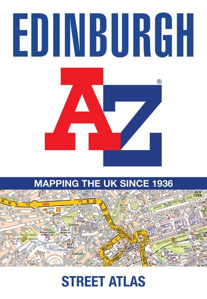
Edinburgh a-Z Street Atl Pb Navigate Your Way Around Edinburgh with Ease Using Trusted Mapping
-
- Englisch ausgewählt
9,99 €
inkl. gesetzl. MwSt.,
- Kostenlose Lieferung ab 30 € Einkaufswert
- Versandkostenfrei für Bonuscard-Kund*innen
Beschreibung
Produktdetails
Einband
Taschenbuch
Erscheinungsdatum
27.03.2025
Verlag
Collins ELTSeitenzahl
92
Maße (L/B/H)
21,2/13,4/1 cm
Gewicht
130 g
Sprache
Englisch
ISBN
978-0-00-873085-7
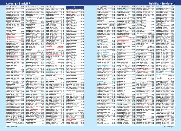
Navigate your way around Edinburgh with this detailed and easy-to-use A-Z Street Atlas.
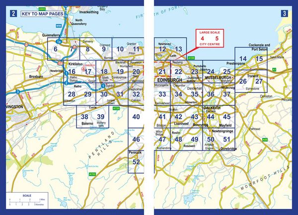
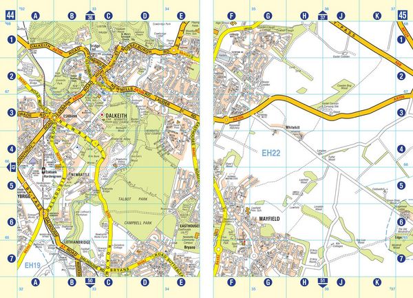
Printed in full-colour, paperback format, this atlas contains 45 pages of continuous street mapping.
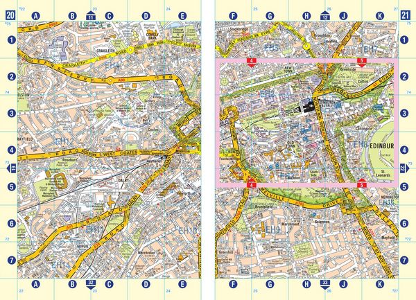
The main mapping extends beyond central Edinburgh at a scale of 3.33 inches to 1 mile, featuring postcode districts, one-way streets, park and ride sites, and safety camera locations. Areas covered include:
- South Queensferry
- Leith
- Prestonpans
- Tranent
- Musselburgh
- Dalkeith
- Bonnyrigg
- Loanhead
- Gorebridge
- Penicuik
- Balerno
- Edinburgh Airport
The large-scale street map of Edinburgh city centre - at a scale of 6.67 inches to 1 mile - includes:
- Places of Interest Guide, highlighting the city's major tourist attractions and world-famous Edinburgh Festival
- Postcode map of the Edinburgh area
- Road map of the Edinburgh area
- Diagrammatic map of rail and tram connections
A comprehensive index lists streets, selected flats, walkways and places of interest, place, area and station names. Additional healthcare (hospitals, walk-in centres and hospices) and transport connections (Edinburgh Tramway stops) are indexed as well.
Kundinnen und Kunden meinen
Verfassen Sie die erste Bewertung zu diesem Artikel
Helfen Sie anderen Kund*innen durch Ihre Meinung
Kurze Frage zu unserer Seite
Vielen Dank für Ihr Feedback
Wir nutzen Ihr Feedback, um unsere Produktseiten zu verbessern. Bitte haben Sie Verständnis, dass wir Ihnen keine Rückmeldung geben können. Falls Sie Kontakt mit uns aufnehmen möchten, können Sie sich aber gerne an unseren Kund*innenservice wenden.
zum Kundenservice