Produktbild: Intelligence for Future Cities
- 19%

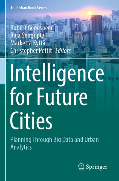
Intelligence for Future Cities Planning Through Big Data and Urban Analytics

Aus der Reihe The Urban Book Series
19% sparen

248,99 € UVP 307,99 €

inkl. gesetzl. MwSt., Versandkostenfrei


Beschreibung

Produktdetails

Einband

Taschenbuch

Erscheinungsdatum

04.06.2024

Herausgeber

Robert Goodspeed + weitere

Verlag

Springer

Seitenzahl

345

Maße (L/B/H)

23,5/15,5/1,9 cm

Gewicht

611 g

Sprache

Englisch

ISBN

978-3-031-31748-4

Beschreibung

Produktdetails

Einband

Taschenbuch

Erscheinungsdatum

04.06.2024

Herausgeber

Verlag

Springer

Seitenzahl

345

Maße (L/B/H)

23,5/15,5/1,9 cm

Gewicht

611 g

Sprache

Englisch

ISBN

978-3-031-31748-4

Herstelleradresse

Springer-Verlag KG
Sachsenplatz 4-6
1201 Wien
AT

Email: GPSR Kontakt

Noch keine Bewertungen vorhanden

Verfassen Sie die erste Bewertung zu diesem Artikel

Helfen Sie anderen Kundinnen und Kunden durch Ihre Meinung.

Kundinnen und Kunden meinen

Bewertungen (0)

  • Produktbild: Intelligence for Future Cities
  • Introduction.- Part 1: Digital cities.- Hybrid smartness: Seeking a balance between top-down and bottom-up smart city approaches.- Interpreting the smart city through topic modelling.- The venue code: digital surveillance, spatial (re)organization, and infrastructural power during the COVID pandemic in China.- The platformization of public participation: Considerations for urban planners navigating new engagement tools.- Part 2: Mobility futures.- Shared micro-mobility: A panacea or a patch for our urban transport problems?- Understanding bikeability: Insight into the cycling–city relationship using massive dockless bike-sharing records in Beijing.- Disclosing the impact of micro-level environmental characteristics on dockless bikeshare trip volume: A case study of Ithaca.- A planning support system for boosting bikeability in Seoul.- Integrating big data and a travel survey to understand the gender gap in ride-hailing usage: evidence from Chengdu, China.- Urban airspace route planningfor advanced air mobility operations.- Part 3: Fine-scale urban analysis.- “Eyes on the Street”: Estimating natural surveillance along Amsterdam’s city streets using street-level imagery.- Automatic evaluation of street-level walkability based on computer vision techniques and urban big data: A case study of Kowloon West, Hong Kong.- Promoting sustainable travel through a web-based tourism support system.- Applying the Aurin walkability index at the metropolitan and local levels by sex and age in Australia.- Predicting urban heat island mitigation with random forest regression in Belgian cities.- A framework to probe the uncertainties in urban cellular automata modeling with multilevel density for the Wallonia region, Belgium.