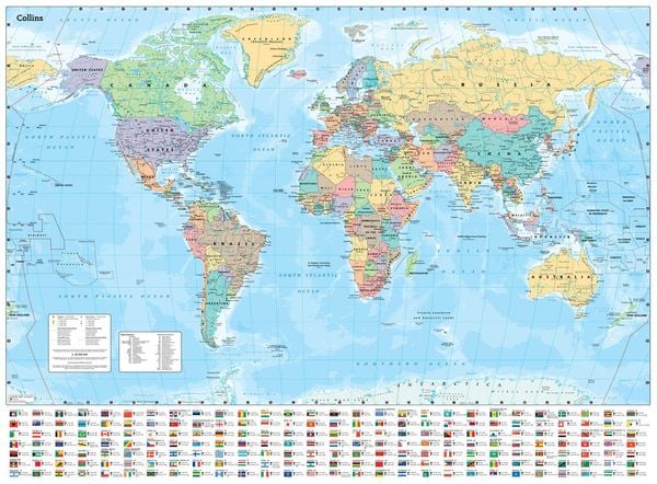
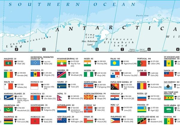
Collins Large World Wall Laminated Map (70 x 91.5 cm) Laminated Map with Flags, Perfect for Classroom, Office and Home
-
- Englisch ausgewählt
16,29 €
inkl. gesetzl. MwSt.,
- Kostenlose Lieferung ab 30 € Einkaufswert
- Versandkostenfrei für Bonuscard-Kund*innen
Beschreibung
Produktdetails
Einband
Karte
Erscheinungsdatum
29.08.2024
Verlag
Collins ReferenceMaße (L/B/H)
71,3/5,5/5,5 cm
Gewicht
20 g
Farbe
Hellblau
Sprache
Englisch
ISBN
978-0-00-871258-7
Explore the world with a Collins wall map
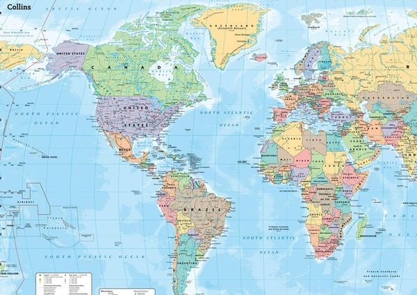
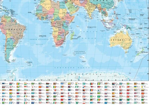
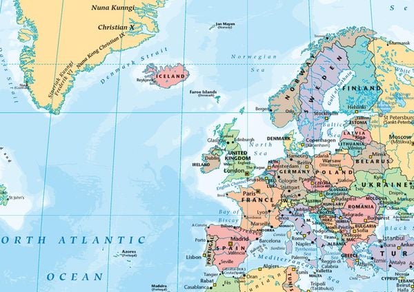
Fully updated world map to include the latest political changes. The map contains politically coloured mapping which shows each country and their capital city, major roads, and cities and towns clearly. Also included are national flags, key statistics for every country and inset maps of the polar regions.
The map is printed on high quality paper and comes rolled in a fully recyclable cardboard box - ideal as a poster for any classroom, bedroom or office wall.
Area of coverage:
All of the world, centred on the Greenwich Meridian, and including maps of the North and South Pole regions.
Scale:
1:30 000 000; 1 cm to 300 km; 1 inch to 480 miles
Size:
700 x 915 mm (27.5 x 36 inches)
Other versions available:
Paper flat map (ISBN 978-0-00-849255-7)
Noch keine Bewertungen vorhanden
Verfassen Sie die erste Bewertung zu diesem Artikel
Helfen Sie anderen Kundinnen und Kunden durch Ihre Meinung.
Kurze Frage zu unserer Seite
Vielen Dank für Ihr Feedback
Wir nutzen Ihr Feedback, um unsere Produktseiten zu verbessern. Bitte haben Sie Verständnis, dass wir Ihnen keine Rückmeldung geben können. Falls Sie Kontakt mit uns aufnehmen möchten, können Sie sich aber gerne an unseren Kund*innenservice wenden.
zum Kundenservice