Re-envisioning Remote Sensing Applications Perspectives from Developing Countries
-
- Hardcover
- Taschenbuch ausgewählt
- eBook
-
Sprache:Englisch
104,99 €
inkl. gesetzl. MwSt.,
Beschreibung
Produktdetails
Einband
Taschenbuch
Erscheinungsdatum
25.09.2023
Abbildungen
schwarz-weiss Illustrationen
Herausgeber
Ripudaman SinghVerlag
Taylor & FrancisSeitenzahl
329
Maße (L/B/H)
22,9/15,2/1,9 cm
Gewicht
453 g
Sprache
Englisch
ISBN
978-0-367-50248-5
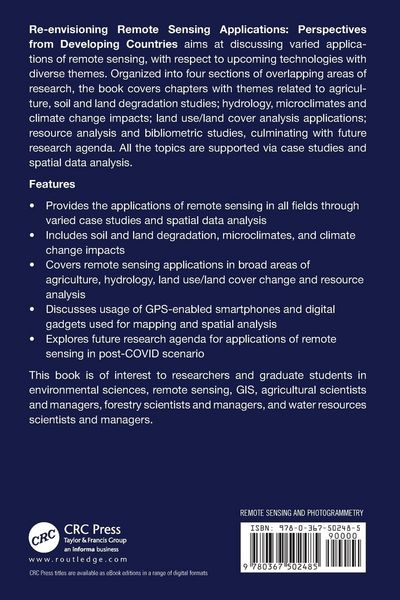
Re-envisioning Remote Sensing Applications: Perspectives from Developing Countries aims at discussing varied applications of remote sensing, with respect to upcoming technologies with varied themes like agricultural, soil and land degradation studies, hydrology, microclimates and climate change, land-use/land cover analysis, and so forth.
Kundinnen und Kunden meinen
Verfassen Sie die erste Bewertung zu diesem Artikel
Helfen Sie anderen Kund*innen durch Ihre Meinung
Kurze Frage zu unserer Seite
Vielen Dank für Ihr Feedback
Wir nutzen Ihr Feedback, um unsere Produktseiten zu verbessern. Bitte haben Sie Verständnis, dass wir Ihnen keine Rückmeldung geben können. Falls Sie Kontakt mit uns aufnehmen möchten, können Sie sich aber gerne an unseren Kund*innenservice wenden.
zum Kundenservice