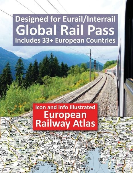
Icon and Info Illustrated European Railway Atlas Designed for Eurail/Interrail Global Rail Pass - Includes 33+ European Countries
-
- Englisch ausgewählt
24,99 €
inkl. gesetzl. MwSt.,
- Kostenlose Lieferung ab 30 € Einkaufswert
- Versandkostenfrei für Bonuscard-Kund*innen
Beschreibung
Produktdetails
Einband
Taschenbuch
Erscheinungsdatum
28.02.2023
Verlag
Solitaire Contracts LimitedSeitenzahl
54
Maße (L/B/H)
28/21,6/0,4 cm
Gewicht
229 g
Sprache
Englisch
ISBN
978-1-911165-58-3
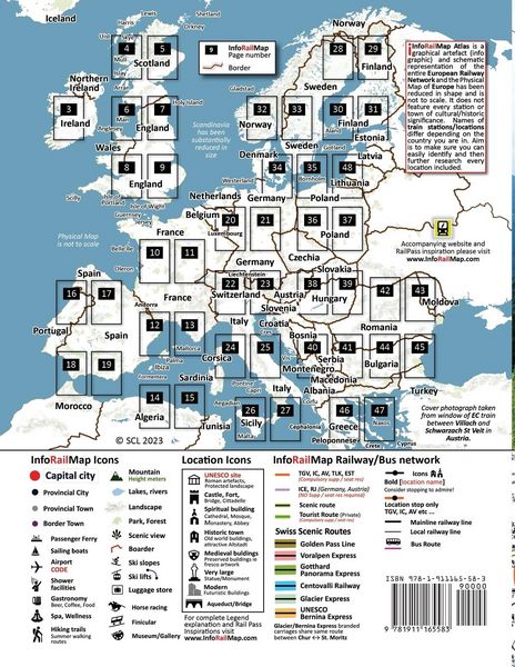
Icon and Info Illustrated European Railway Atlas - Designed for Eurail/Interrail Global Rail Pass - Includes 33+ European Countries. Atlas is a completely unique Icon and Info illustrated Railway Atlas. InfoRailMap is specifically designed for Global Interrail/Eurail RailPass holders who want to include the many majestic Alpine routes and fascinating Medieval towns in their travel plans. Atlas covers all 33 European counties included in Eurail/Interrail Global Rail Pass products plus Moldova, Albania and Mainland Europe ferry routes heading to North Africa. Planning an Eurail/Interrail is always a difficult choice and compromise with an infinite number of possible routes and fabulous locations to visit and explore. InfoRailMap Atlas is illustrated with Icons which indicate all major UNESCO listed sites including significant Roman artefacts, castles, hill top citadels/fortifications, aqueducts/bridges, spiritual buildings including Cathedrals, Mosques, Monasteries and Abbeys, museums/art galleries and attractive Old World Medieval towns and protected landscapes so you know instantly where you focus your time and which routes best suit your interests. The large A4 letter paperback format includes duplications to enable super easy route planning. Autor Notes: Please be aware that the names of train stations/locations vary depending on which country you are in and that they are a compromise between leading network schedules Die Bahn, Interrail App and Google Maps. The goal is to ensure that you can easily identify and recognise the location, regardless of where you are from. Due to the massive size of Europe's physical terrain, it would be impractical to create an Atlas scale that would add unnecessary pages and increased printing costs therefore the physical space of Europe has been altered in shape ie most notably Scandinavia, Northern England, South of France and Greece.
Noch keine Bewertungen vorhanden
Verfassen Sie die erste Bewertung zu diesem Artikel
Helfen Sie anderen Kundinnen und Kunden durch Ihre Meinung.
Kurze Frage zu unserer Seite
Vielen Dank für Ihr Feedback
Wir nutzen Ihr Feedback, um unsere Produktseiten zu verbessern. Bitte haben Sie Verständnis, dass wir Ihnen keine Rückmeldung geben können. Falls Sie Kontakt mit uns aufnehmen möchten, können Sie sich aber gerne an unseren Kund*innenservice wenden.
zum Kundenservice