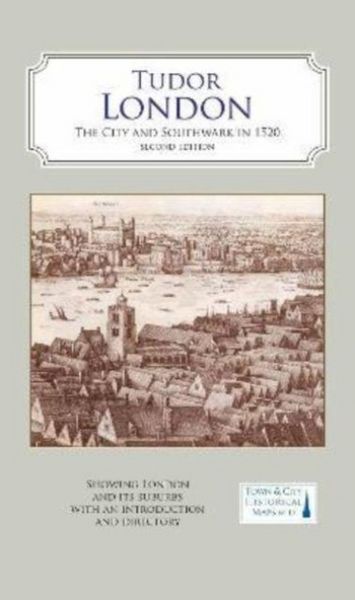
A Map of Tudor London The City and Southwark in 1520. Second edition
-
- Englisch ausgewählt
17,99 €
inkl. gesetzl. MwSt.,
- Kostenlose Lieferung ab 30 € Einkaufswert
- Versandkostenfrei für Bonuscard-Kund*innen
Beschreibung
A full colour map showing London in about 1520 - its many churches, monasteries, legal inns, guild halls, and a large number of substantial private houses, in the context of the streets and alleyways that survived the Great Fire and can still be discovered.
Produktdetails
| Einband |
Karte |
|---|---|
| Erscheinungsdatum |
29.09.2022 |
| Abbildungen |
cColoured engravings and early views of buildings, monuments and street scenes. A map of the City of London's wards. |
| Herausgeber | Caroline Barron + weitere |
Noch keine Bewertungen vorhanden
Verfassen Sie die erste Bewertung zu diesem Artikel
Helfen Sie anderen Kundinnen und Kunden durch Ihre Meinung.
Kurze Frage zu unserer Seite
Vielen Dank für Ihr Feedback
Wir nutzen Ihr Feedback, um unsere Produktseiten zu verbessern. Bitte haben Sie Verständnis, dass wir Ihnen keine Rückmeldung geben können. Falls Sie Kontakt mit uns aufnehmen möchten, können Sie sich aber gerne an unseren Kund*innenservice wenden.
zum Kundenservice