Philip's Navigator Street Atlas Somerset Spiral Edition
-
- Englisch ausgewählt
19,99 €
inkl. gesetzl. MwSt.,
- Kostenlose Lieferung ab 30 € Einkaufswert
- Versandkostenfrei für Bonuscard-Kund*innen
Beschreibung
Produktdetails
Einband
Taschenbuch
Erscheinungsdatum
04.08.2022
Verlag
Octopus BooksSeitenzahl
288
Maße (L/B/H)
26,6/19,4/1,5 cm
Gewicht
605 g
Sprache
Englisch
ISBN
978-1-84907-588-6
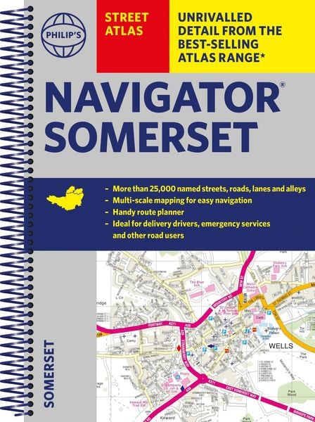
The only county atlas with all the named streets of Somerset - more than 24,000 named streets, roads, lanes and alleys - ideal for finding the best and most effective route anywhere in the area.
Includes all the streets in BATH, BRIDGWATER, FROME, TAUNTON, WESTON-SUPER-MARE, YEOVIL, Bruton, Burnham-on-Sea, Castle Cary, Chard, Crewkerne, Clevedon, Cheddar, Glastonbury, Ilminster, Keynsham, Minehead, Midsomer Norton, Nailsea, Portishead, Sherborne, Shepton Mallet, Street, Somerton, Wincanton, Watchet, Wedmore, Wells, Wellington, Yatton.
With Super-clear mapping, it is routinely used by the emergency services and professional drivers. The Route planner section shows all the A and B roads and can be used to get close to the destination before turning to the relevant large-scale street map.
Packed with useful information including car parks, railway and bus stations, post offices, schools, colleges, universities, hospitals, police and fire stations, places of worship, leisure centres, footpaths and bridleways, camping and caravan sites, golf-courses, and many other places of interest.
All this and an easy-to-use comprehensive Index with colour-coding for quick reference.
Kundinnen und Kunden meinen
Verfassen Sie die erste Bewertung zu diesem Artikel
Helfen Sie anderen Kund*innen durch Ihre Meinung
Kurze Frage zu unserer Seite
Vielen Dank für Ihr Feedback
Wir nutzen Ihr Feedback, um unsere Produktseiten zu verbessern. Bitte haben Sie Verständnis, dass wir Ihnen keine Rückmeldung geben können. Falls Sie Kontakt mit uns aufnehmen möchten, können Sie sich aber gerne an unseren Kund*innenservice wenden.
zum Kundenservice