KI-Beratung Beta

Gutscheinbedingungen

**Gültig am 15.10.2026 auf Spielzeug, Schreibwaren, Filme, Geschenke & Trends, Musik, tolino eReader & Zubehör, Hörbücher und Hörbuch-Downloads, nicht preisgebundene Bücher und Kalender in der Thalia App. Einzelne Artikel können ausgeschlossen sein. Aufgrund der Buchpreisbindung sind deutschsprachige Bücher und eBooks ausgenommen. Zusätzlich ausgenommen sind Abos & Flatrates, Games, Geschenkkarten/-boxen, Shelfies, Software, Zeitschriften sowie einzelne Artikel von tonies®. Pro Einkauf einmal einlösbar. Click & Collect nur bei Onlinevorabzahlung möglich. Keine Barauszahlung. Nicht kombinierbar mit anderen Aktionen und Gutscheinen. Gutschein wird auf max. 500€ Bestellwert angerechnet. Nicht gültig für Versandkosten und Services.

  • Produktbild: Re-envisioning Advances in Remote Sensing
  • Produktbild: Re-envisioning Advances in Remote Sensing

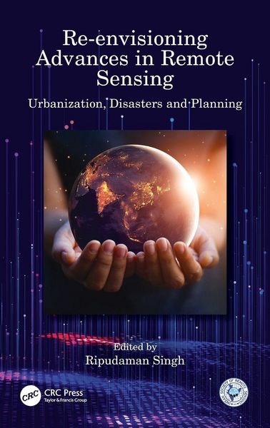
Re-envisioning Advances in Remote Sensing Urbanization, Disasters and Planning

234,99 €

inkl. gesetzl. MwSt., Versandkostenfrei


Produktdetails

Einband

Gebundene Ausgabe

Erscheinungsdatum

17.03.2022

Abbildungen

schwarz-weiss Illustrationen, Raster,schwarz-weiss, Zeichnungen, schwarz-weiss, Tabellen, schwarz-weiss

Herausgeber

Ripudaman Singh

Verlag

Taylor and Francis

Seitenzahl

314

Maße (L/B/H)

24/16,1/2,1 cm

Gewicht

637 g

Sprache

Englisch

ISBN

978-1-03-212457-5

Produktdetails

Einband

Gebundene Ausgabe

Erscheinungsdatum

17.03.2022

Abbildungen

schwarz-weiss Illustrationen, Raster,schwarz-weiss, Zeichnungen, schwarz-weiss, Tabellen, schwarz-weiss

Herausgeber

Ripudaman Singh

Verlag

Taylor and Francis

Seitenzahl

314

Maße (L/B/H)

24/16,1/2,1 cm

Gewicht

637 g

Sprache

Englisch

ISBN

978-1-03-212457-5

Noch keine Bewertungen vorhanden

Verfassen Sie die erste Bewertung zu diesem Artikel

Helfen Sie anderen Kundinnen und Kunden durch Ihre Meinung.

Kundinnen und Kunden meinen

Bewertungen (0)

Die Leseprobe wird geladen.
  • Produktbild: Re-envisioning Advances in Remote Sensing
  • Produktbild: Re-envisioning Advances in Remote Sensing
  • Introduction: Re-envisioning Advances in Remote Sensing. Section I. Urbanization and its Impact. 1. Remote Sensing Applications in Urbanization and its impact on Environment: A Case Study of Noida City. 2. Dynamics of Urban Land Use and its Impact on Land Surface Temperature (LST) in Aligarh City, Uttar Pradesh. 3. Use of a Smartphone to Map Noise Pollution: A Case Study of Ludhiana City. 4. An Assessment of Urban Green Spaces under the Smart Cities Mission: The Case of Qaiserbagh ABD Area of Lucknow City. 5. Impact on Land Surface Temperature and Urban Heat Island Due to Land Use Land Cover Change in Dhaka Metropolitan Area Using Remote Sensing and GIS Techniques. Section II. Geospatial Technology for Disaster Management. 6. Spatio-Environmental Distribution of Drought Disaster Events: A Space-Based Approach using Terra-MODIS Vegetation Index. 7. Sustainable Management of Waterlogged and Salt Affected Areas through Geo-Spatial Technology -A Case Study of Central Haryana. 8. Flood Risk Assessment and Analysis of Kashmir Valley Floor through Remote Sensing. 9. Remote Sensing Applications in Landslide Susceptibility Index Mapping of Rangamati District, Bangladesh. 10. Remote Sensing Applications in Landslide Assessments: Case of Kotropi in Himachal Himalayas. 11. Geospatial techniques to quantify urban change: A case of Harare, Zimbabwe. Section III. Remote Sensing Applications in Models and Planning. 12. Remote Sensing & GIS based Site Identification for Solid Waste Management for Urban Planning of Amritsar Municipal Corporation, Punjab, India. 13. Use of Remote Sensing Techniques in Land Degradation Mapping. 14. Feasibility Analysis of a Railway Route using Remote Sensing/Geoinformatics and Analytical Hierarchy Process (AHP) Techniques. 15. Comparing Performance of Inverse Distance Weighting and Modified Shepard Interpolation Models with Different Sampling Arrangements: A Case Study. 16. Application of Remote Sensing in the Groundwater Potential Analysis of Developing Countries. 17. Village Identification on the basis of Intensity of Problems in Physical Resources in the Kandi Region of Punjab for Micro Level Planning. Conclusion: Outlook to Future Research Agenda.