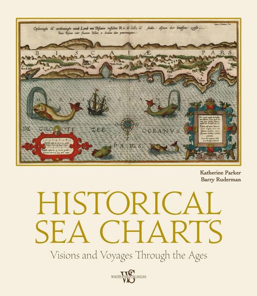
Historical Sea Charts Visions and Voyages Through the Ages
-
- Englisch ausgewählt
39,20 €
inkl. gesetzl. MwSt.,
Beschreibung
Produktdetails
Einband
Gebundene Ausgabe
Erscheinungsdatum
17.10.2023
Verlag
Gingko PressSeitenzahl
208
Maße (L/B/H)
31,3/27,2/2,8 cm
Gewicht
1754 g
Sprache
Englisch
EAN
9788854417168
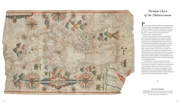
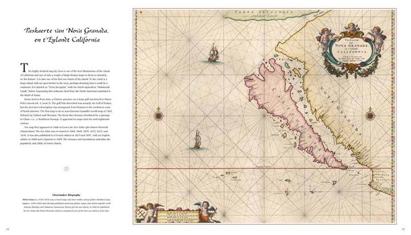
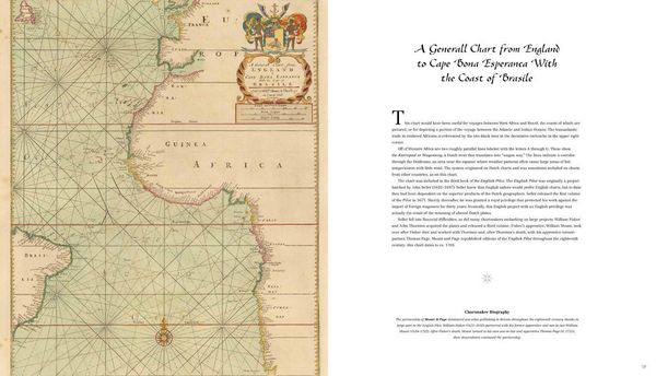
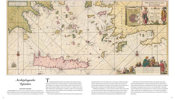
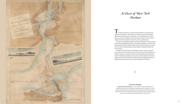
This book explores the history of charts and nautical maps from the earliest known examples to the twentieth century, with a special focus on the makers and methods of use from 1300 to 1900. There is a special focus on technical features, aesthetics, and historical context. The maps included are part of the digital collection of Barry Lawrence Ruderman Antique Maps Inc., one of the largest collections of digital map images in the world. For each example in the volume, the reader will find out how the maps and charts were designed and created, as well as how they were used on ship and shore.
Noch keine Bewertungen vorhanden
Verfassen Sie die erste Bewertung zu diesem Artikel
Helfen Sie anderen Kundinnen und Kunden durch Ihre Meinung.
Kurze Frage zu unserer Seite
Vielen Dank für Ihr Feedback
Wir nutzen Ihr Feedback, um unsere Produktseiten zu verbessern. Bitte haben Sie Verständnis, dass wir Ihnen keine Rückmeldung geben können. Falls Sie Kontakt mit uns aufnehmen möchten, können Sie sich aber gerne an unseren Kund*innenservice wenden.
zum Kundenservice