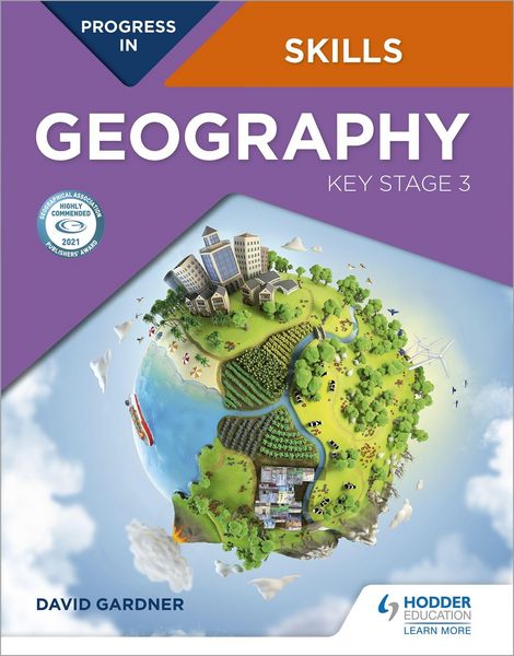
Progress in Geography Skills Key Stage 3
-
- Taschenbuch ausgewählt
- eBook
-
Sprache:Englisch
24,99 €
inkl. gesetzl. MwSt.,
- Kostenlose Lieferung ab 30 € Einkaufswert
- Versandkostenfrei für Bonuscard-Kund*innen
Beschreibung
Produktdetails
Einband
Taschenbuch
Altersempfehlung
11 - 14 Jahr(e)
Erscheinungsdatum
26.06.2020
Verlag
Hodder EducationSeitenzahl
136
Maße (L/B/H)
27/21,2/0,7 cm
Gewicht
431 g
Sprache
Englisch
ISBN
978-1-5104-7757-5
Highly Commended in the GA Publishers' Awards 2021:
"This comprehensive resource has been designed to work alongside Progress in Geography and uses the same format and recognisable layout. It can also be used as a standalone text and is packed full of resources, well-framed activities, support and practice to help students to develop key geographical skills and think critically about what they're learning. The judges also felt it could be a useful reference for non-specialists and trainee teachers."
This book is designed to help students build up and apply geographical skills throughout KS3. A wide range of skills are introduced in Unit 1, and then revisited and progressed in different contexts in Units 2-15 as part of a learning journey to becoming a geographer. These skills are progressed as an integral component of an enquiry process. The book provides a firm foundation for the geographical skills required at GCSE level and beyond. A wide range of geographical data is provided including satellite images and a large number of OS maps at a variety of scales, often linked to other data, such as ground and aerial photos. Progress in Geography Skills: Key Stage 3 can be used independently or alongside the Progress in Geography: Key Stage 3 Student book.
Each page has a specific learning objective and skills focus, such as:
- Conducting geographical enquiries; considering different points of view and making decisions
- Drawing field sketches, linked to OS maps and locating places using lines of latitude and longitude on an atlas or grid references on OS maps
- Understanding and drawing a wide variety of graphs
- Analysis and presentation of statistical data
- Comparing ground level photographs with Ordnance Survey maps and being able to identify coastal, glacial and river landforms on OS maps
- Using newspapers to investigate issues, and detect bias
- Using websites, including online GiS, as part of enquiries and investigating data
Noch keine Bewertungen vorhanden
Verfassen Sie die erste Bewertung zu diesem Artikel
Helfen Sie anderen Kundinnen und Kunden durch Ihre Meinung.
Kurze Frage zu unserer Seite
Vielen Dank für Ihr Feedback
Wir nutzen Ihr Feedback, um unsere Produktseiten zu verbessern. Bitte haben Sie Verständnis, dass wir Ihnen keine Rückmeldung geben können. Falls Sie Kontakt mit uns aufnehmen möchten, können Sie sich aber gerne an unseren Kund*innenservice wenden.
zum Kundenservice