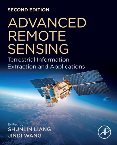
Advanced Remote Sensing Terrestrial Information Extraction and Applications
-
- Hardcover
- Taschenbuch ausgewählt
- eBook
-
Sprache:Englisch
162,99 €
inkl. gesetzl. MwSt.,
Beschreibung
Produktdetails
Einband
Taschenbuch
Erscheinungsdatum
22.11.2019
Herausgeber
Shunlin Liang + weitereVerlag
Elsevier Science & TechnologySeitenzahl
1012
Maße (L/B/H)
23,5/19,1/5,1 cm
Gewicht
1702 g
Auflage
2. Auflage
Sprache
Englisch
ISBN
978-0-12-815826-5
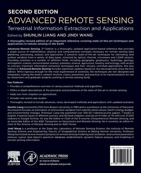
Advanced Remote Sensing: Terrestrial Information Extraction and Applications, Second Edition, is a thoroughly updated application-based reference that provides a single source on the mathematical concepts necessary for remote sensing data gathering and assimilation. It presents state-of-the-art techniques for estimating land surface variables from a variety of data types, including optical sensors like RADAR and LIDAR. The book provides scientists in a number of different fields, including geography, geophysics, geology, atmospheric science, environmental science, planetary science and ecology with access to critically-important data extraction techniques and their virtually unlimited applications.
While rigorous enough for the most experienced of scientists, the techniques presented are well designed and integrated, making the book's content intuitive and practical in its implementation.
Noch keine Bewertungen vorhanden
Verfassen Sie die erste Bewertung zu diesem Artikel
Helfen Sie anderen Kundinnen und Kunden durch Ihre Meinung.
Kurze Frage zu unserer Seite
Vielen Dank für Ihr Feedback
Wir nutzen Ihr Feedback, um unsere Produktseiten zu verbessern. Bitte haben Sie Verständnis, dass wir Ihnen keine Rückmeldung geben können. Falls Sie Kontakt mit uns aufnehmen möchten, können Sie sich aber gerne an unseren Kund*innenservice wenden.
zum Kundenservice