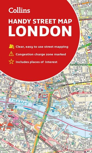

Collins London Handy Street Map
-
- Englisch ausgewählt
6,99 €
inkl. gesetzl. MwSt.,
- Kostenlose Lieferung ab 30 € Einkaufswert
- Versandkostenfrei für Bonuscard-Kund*innen
Beschreibung
Produktdetails
Einband
Karte
Erscheinungsdatum
07.02.2019
Verlag
HarperCollinsMaße (L/B/H)
19,3/7,9/0,2 cm
Gewicht
92 g
Sprache
Englisch
ISBN
978-0-00-832058-4
An essential companion whether you are travelling around London by car, public transport or on foot.
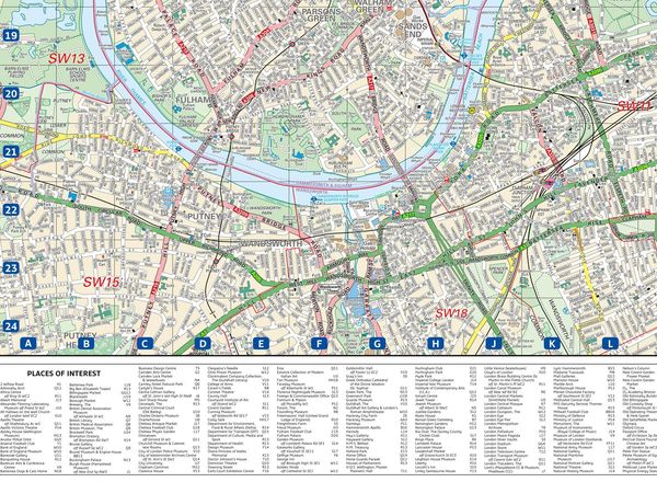
Clear and easy-to-read map of central London and surrounding area. Contains detailed mapping, presented in a handy compact format.
This attractive map, ideal for both tourists and residents, and fully updated, has an extensive area of coverage and displays a wealth of detail.
This map includes:
¿ New for this edition: Electric car recharging sites
¿ Fully classified roads
¿ Congestion charging zone & T-charge (Ultra Low Emission Zone from April 2019)
¿ Postal districts and boundaries clearly depicted
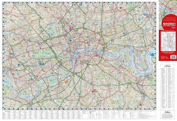
¿ Full indexes to street names (on back of map), place names and places of interest
¿ Fully updated London underground map conveniently located on the back cover
Covers this area:
Extends from Hampstead in the north to Clapham in the south and from Hammersmith in the west to Greenwich in the east.
Scale: 1:17,500 (3.6 inches to 1 mile)
Noch keine Bewertungen vorhanden
Verfassen Sie die erste Bewertung zu diesem Artikel
Helfen Sie anderen Kundinnen und Kunden durch Ihre Meinung.
Kurze Frage zu unserer Seite
Vielen Dank für Ihr Feedback
Wir nutzen Ihr Feedback, um unsere Produktseiten zu verbessern. Bitte haben Sie Verständnis, dass wir Ihnen keine Rückmeldung geben können. Falls Sie Kontakt mit uns aufnehmen möchten, können Sie sich aber gerne an unseren Kund*innenservice wenden.
zum Kundenservice