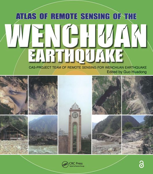
Atlas of Remote Sensing of the Wenchuan Earthquake
-
- Englisch ausgewählt
119,99 €
inkl. gesetzl. MwSt.,
Beschreibung
Produktdetails
Einband
Taschenbuch
Erscheinungsdatum
04.02.2019
Abbildungen
farbige Illustrationen, Tabellen, farbig
Herausgeber
Huadong GuoVerlag
Taylor and FrancisSeitenzahl
260
Maße (L/B/H)
27,7/24,7/1,8 cm
Gewicht
1297 g
Sprache
Englisch
ISBN
978-1-138-11217-9
In May 12, 2008, the Wenchuan County earthquake caused devastating loss of human life and property. Applying all the remote sensing technology available, the Chinese Academy of Sciences immediately launched into action, making full use of its state-of-the-art facilities, remote sensing planes, and satellites to amass invaluable optical and radar data. This unprecedented use of comprehensive remote sensing techniques provided accurate, up to the minute information for disaster management and has left us with a visually stunning and beautiful record that is as much a scientific achievement as it is an artistic one.
Based on the accumulated data and images collected by the Project Team of Remote Sensing Monitoring and Assessment of the Wenchuan Earthquake, Atlas of Remote Sensing of the Wenchuan Earthquake documents the events as they happened in real time. The book covers the disaster from six aspects: geological, barrier lakes, collapsed buildings, damaged roads, destroyed farmland and forests, and demolished infrastructure. It also demonstrates that the Dujiangyan Irrigation Project, which has been standing for 2000 years, remains fully functioning, and keeps the Chengdu Plain operating optimally even after the earthquake.
Translated into English for the first time, the Atlas presents a pictorial summation of this unique project. It chronicles the event with over 280 before and after color images from a range of perspectives. This volume dramatically demonstrates the value of remote sensing for understanding how an earthquake unfolds and the potential of remote sensing in helping coordinate emergency relief. A pictorial record of events as they unfolded, this book provides a systematic documentation of earthquake damage that can be used to prepare for future seismic events.
Noch keine Bewertungen vorhanden
Verfassen Sie die erste Bewertung zu diesem Artikel
Helfen Sie anderen Kundinnen und Kunden durch Ihre Meinung.
Kurze Frage zu unserer Seite
Vielen Dank für Ihr Feedback
Wir nutzen Ihr Feedback, um unsere Produktseiten zu verbessern. Bitte haben Sie Verständnis, dass wir Ihnen keine Rückmeldung geben können. Falls Sie Kontakt mit uns aufnehmen möchten, können Sie sich aber gerne an unseren Kund*innenservice wenden.
zum Kundenservice