The European Information Society Taking Geoinformation Science One Step Further
Aus der Reihe
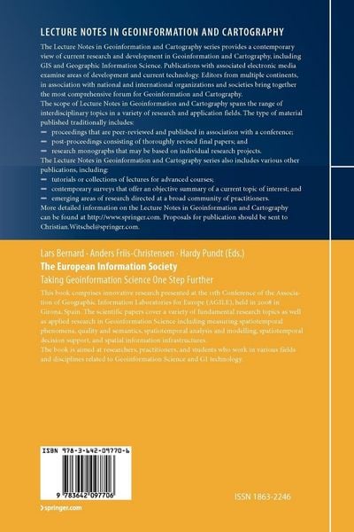
Lecture Notes in Geoinformation and Cartography
-
- Hardcover
- Taschenbuch ausgewählt
- eBook
-
Sprache:Englisch
148,99 €
inkl. gesetzl. MwSt.,
Beschreibung
Produktdetails
Einband
Taschenbuch
Erscheinungsdatum
28.10.2010
Herausgeber
Lars Bernard + weitereVerlag
Springer BerlinSeitenzahl
430
Maße (L/B/H)
23,5/15,5/2,6 cm
Gewicht
704 g
Auflage
Softcover reprint of hardcover 1st edition 2008
Sprache
Englisch
ISBN
978-3-642-09770-6
The Association of Geographic Information Laboratories for Europe (AGILE) was established in early 1998 to promote academic teaching and research on GIS at the European level. AGILE seeks to ensure that the views of the geographic information teaching and research community are fully represented in the discussions that take place on future European - search agendas and it also provides a permanent scientific forum where geographic information researchers can meet and exchange ideas and - periences at the European level. In 2007 AGILE provided - for the first time since its existence - a book constituting a collection of scientific papers that were submitted as fu- papers to the annual AGILE conference and went through a competitive and thorough review process. Published in the Springer Lecture Notes in Geoinformation and Cartography this first edition was well received within AGILE and within the European Geoinformation Science com- nity as a whole. Thus, the decision was easily made to establish a Springer th Volume for the 11 AGILE conference held 2008 in Girona, Spain, and led to what you now hold in your hands.
Kundinnen und Kunden meinen
Verfassen Sie die erste Bewertung zu diesem Artikel
Helfen Sie anderen Kund*innen durch Ihre Meinung
Kurze Frage zu unserer Seite
Vielen Dank für Ihr Feedback
Wir nutzen Ihr Feedback, um unsere Produktseiten zu verbessern. Bitte haben Sie Verständnis, dass wir Ihnen keine Rückmeldung geben können. Falls Sie Kontakt mit uns aufnehmen möchten, können Sie sich aber gerne an unseren Kund*innenservice wenden.
zum Kundenservice