
Beschreibung
Produktdetails
Einband
Taschenbuch
Erscheinungsdatum
02.02.2004
Verlag
Cambridge AcademicSeitenzahl
112
Maße (L/B/H)
28/21/0,6 cm
Gewicht
270 g
Sprache
Englisch
ISBN
978-0-521-60287-7
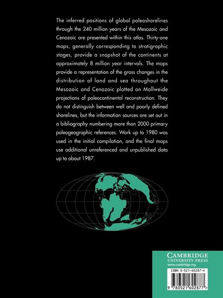
The inferred positions of global paleoshorelines through the 240 million years of the Mesozoic and Cenozoic are presented within this atlas. Thirty-one maps, generally corresponding to stratigraphic stages, provide a snapshot of the continents and their shorelines at approximately 8 million year intervals. The maps provide a representation of the gross changes in the distribution of land and sea throughout the Mesozoic and Cenozoic plotted on Mollweide projections of paleocontinental reconstruction. They do not distinguish between well and poorly defined shorelines, but the information sources are set out in a bibliography numbering more than 2000 primary paleographic references. This is a global compilation that presents the first attempt at delineating global shorelines at stage level, and which represents many years of work sponsored by British Petroleum International (BPI), and work by BPI themselves between 1981 and 1987.
Noch keine Bewertungen vorhanden
Verfassen Sie die erste Bewertung zu diesem Artikel
Helfen Sie anderen Kundinnen und Kunden durch Ihre Meinung.
Kurze Frage zu unserer Seite
Vielen Dank für Ihr Feedback
Wir nutzen Ihr Feedback, um unsere Produktseiten zu verbessern. Bitte haben Sie Verständnis, dass wir Ihnen keine Rückmeldung geben können. Falls Sie Kontakt mit uns aufnehmen möchten, können Sie sich aber gerne an unseren Kund*innenservice wenden.
zum Kundenservice