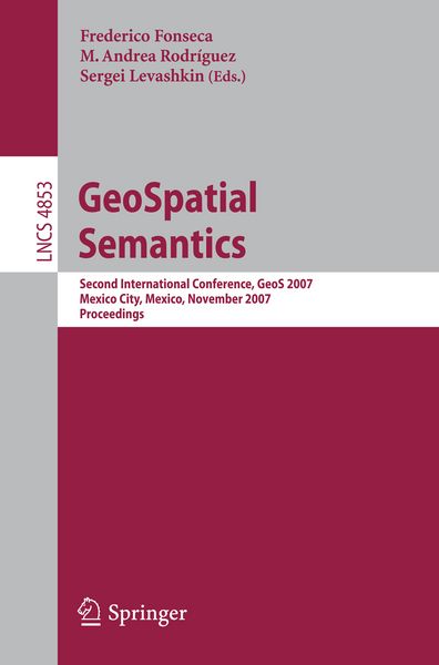
GeoSpatial Semantics Second International Conference, GeoS 2007, Mexico City, Mexico, November 29-30, 2007
-
- Taschenbuch ausgewählt
- eBook
-
Sprache:Englisch
-
Auflage:2007
- 2009 49,99 €
- 2007 49,99 € ausgewählt
- 2005 51,99 €
49,99 €
inkl. gesetzl. MwSt.,
Beschreibung
Produktdetails
Einband
Taschenbuch
Erscheinungsdatum
16.11.2007
Abbildungen
V, 289 p.
Herausgeber
Frederico Fonseca + weitereVerlag
Springer BerlinSeitenzahl
289
Maße (L/B/H)
23,5/15,5/1,7 cm
Gewicht
464 g
Auflage
2007
Sprache
Englisch
ISBN
978-3-540-76875-3
Models and Languages for Geo-Ontologies.- Two Types of Hierarchies in Geospatial Ontologies.- Semantic Annotation of Maps Through Knowledge Provenance.- Architecture for a Grounded Ontology of Geographic Information.- Alignment and Integration of Geo-Ontologies.- Towards Effective Geographic Ontology Matching.- An Algorithm for Merging Geographic Datasets Based on the Spatial Distributions of Their Values.- Structure-Based Methods to Enhance Geospatial Ontology Alignment.- Ontology-Based Spatial Information Retrieval.- Geographic Information Retrieval by Topological, Geographical, and Conceptual Matching.- A Rule-Based Description Framework for the Composition of Geographic Information Services.- Algorithm, Implementation and Application of the SIM-DL Similarity Server.- Formal Representation for GeoSpatial Data.- A Location and Action-Based Model for Route Descriptions.- Spatio-temporal Conceptual Schema Development for Wide-Area Sensor Networks.- Modeling Spatio-temporal Network Computations: A Summary of Results.- Integration of Semantics into Spatial Query Processing.- Building Geospatial Ontologies from Geographical Databases.- Applying Spatial Reasoning to Topographical Data with a Grounded Geographical Ontology.- Supporting Complex Thematic, Spatial and Temporal Queries over Semantic Web Data.- Short Papers.- Semantic Similarity Applied to Generalization of Geospatial Data.- Towards Semantics for Map Styles.- DAGIS: A Geospatial Semantic Web Services Discovery and Selection Framework.- The Gravity Data Ontology: Laying the Foundation for Workflow-Driven Ontologies.
Noch keine Bewertungen vorhanden
Verfassen Sie die erste Bewertung zu diesem Artikel
Helfen Sie anderen Kundinnen und Kunden durch Ihre Meinung.
Kurze Frage zu unserer Seite
Vielen Dank für Ihr Feedback
Wir nutzen Ihr Feedback, um unsere Produktseiten zu verbessern. Bitte haben Sie Verständnis, dass wir Ihnen keine Rückmeldung geben können. Falls Sie Kontakt mit uns aufnehmen möchten, können Sie sich aber gerne an unseren Kund*innenservice wenden.
zum Kundenservice