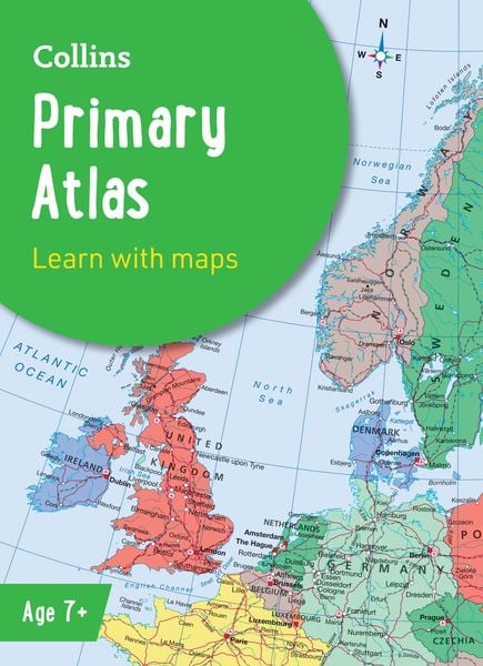
Collins Primary Atlas Ideal for Learning at School and at Home
9,99 €
inkl. gesetzl. MwSt.,
- Kostenlose Lieferung ab 30 € Einkaufswert
- Versandkostenfrei für Bonuscard-Kund*innen
Beschreibung
Produktdetails
ISBN
978-0-00-871651-6
Auflage
8 Revised edition
Erscheinungsdatum
13.02.2025
Einband
Taschenbuch
Verlag
Collins ELTSeitenzahl
68
Maße (L/B/H)
31,1/22,7/0,6 cm
Gewicht
280 g
Sprache
Englisch
The must-have atlas for children aged 7-11
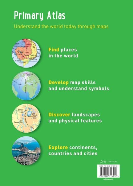
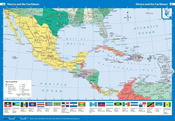
Collins Primary Atlas is a great introduction to mapping of the UK, Europe and all major regions of the world. It supports the Key Stage 2 curriculum and is suitable for children aged 7-11 years.
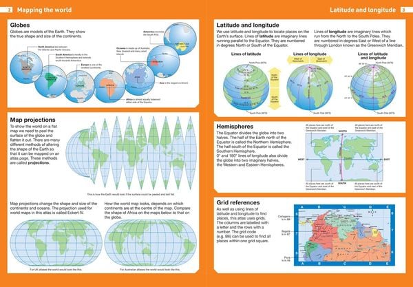
This new, fully up-to-date edition includes information on map reading skills, the meaning of scale and measuring distances, and is ideal for classroom use or home learning.
Reference maps:
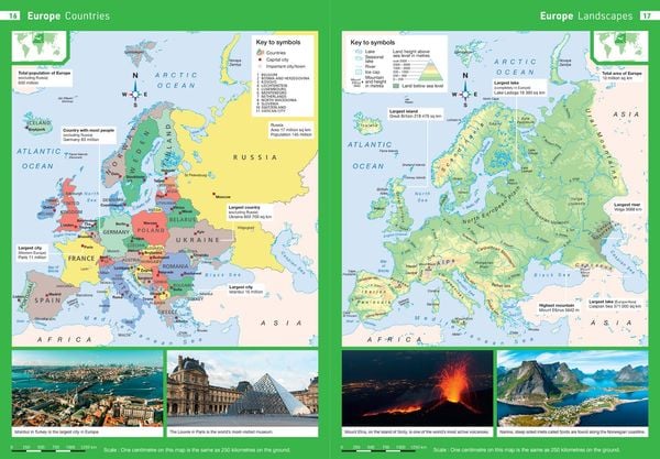
¿ Informative, politically coloured and easy-to-read
¿ National capitals and major cities are clearly labelled
¿ Maps are supported with national flags and basic national statistics
Continental maps:
¿ Linked to regional mapping
¿ Supported by a selection of aerial and terrestrial photographs
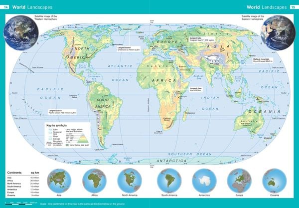
¿ Relief maps show layer colouring and highlight major physical features
This atlas is also available in a eBook format. The next atlas in the series is the Collins School Atlas, suitable for ages 11+ and KS3.
Noch keine Bewertungen vorhanden
Verfassen Sie die erste Bewertung zu diesem Artikel
Helfen Sie anderen Kundinnen und Kunden durch Ihre Meinung.
Kurze Frage zu unserer Seite
Vielen Dank für Ihr Feedback
Wir nutzen Ihr Feedback, um unsere Produktseiten zu verbessern. Bitte haben Sie Verständnis, dass wir Ihnen keine Rückmeldung geben können. Falls Sie Kontakt mit uns aufnehmen möchten, können Sie sich aber gerne an unseren Kund*innenservice wenden.
zum Kundenservice